UnImpact · Feature focus
Private · gated on legal review
The gravity map
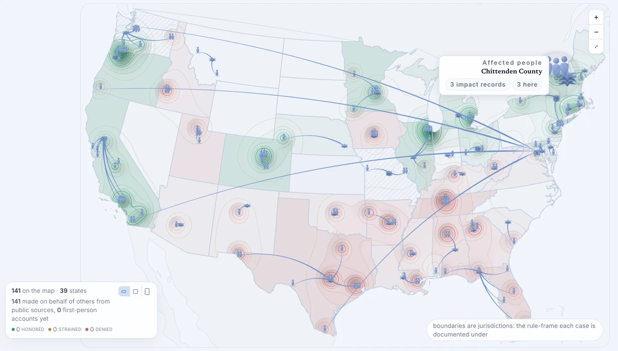
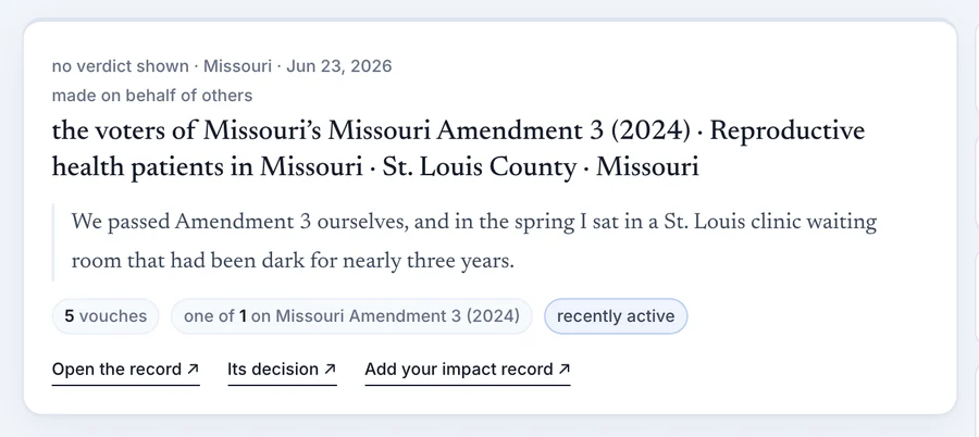
A person sees where a decision was made, where it lands, and how far apart the two sit. Every mark opens to the records behind it: a card naming the decision and the people it lands on, and saying plainly when it was made on their behalf rather than by them.
How it was built
- Drawn in SVG with d3-geo: states drill to counties, and an arc runs from each deciding body to the ground its decision lands on, its length the distance.
- SVG has no z-index, so document order decides what the pointer reaches first: a mark beats a pin beats a county.
- Provenance is counted, not implied. The map reads 141 records made on behalf of others from public sources, and 0 first-person accounts yet.
- The wiki under the map ranks by three named lenses, Hot, Popular and Contested, each one key with stated tiebreaks, never a blend.
Live and unlisted at www.unimpact.org, in private preview.